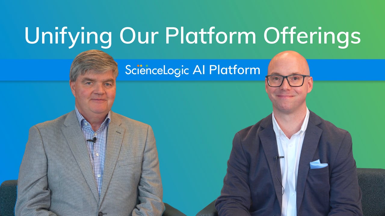
ScienceLogic Leadership Interview with Dave Link and Douglas 'DJ' James
For years, SL1, PowerFlow, Restorepoint, and Skylar AI have powered IT operations through visibility, automation, compliance, and intelligence. Now, we are unifying these capabilities under the Skylar name as part of the ScienceLogic AI Platform. In this conversation, Dave Link and Douglas "DJ" James discuss what this change means for customers, how the platform has grown more integrated over time, and how unifying under the Skylar name reflects the new era of ScienceLogic.110Views0likes0CommentsLearn more about Skylar Automation
Skylar Automation is ScienceLogic’s low-code/no-code automation and integration offering, orchestrating workflows across IT ecosystems at scale. It efficiently and seamlessly connects Skylar One data, signals, and insights with ITSM, DevOps, and cloud tools to enable closed-loop automation. It’s also sustainable, highly performant, and easy to maintain without requiring dedicated staff. Beyond simply unifying siloed systems and powering intelligent automation, Skylar Automation eliminates manual toil, improves efficiency, and helps organizations progress on their journey toward Autonomic IT.113Views0likes0CommentsLearn More about Skylar One (formerly SL1)
Skylar One (formerly SL1) is ScienceLogic’s core observability offering, delivering unified visibility across hybrid and multi-vendor environments. Skylar One ingests and correlates telemetry data into business context, enabling intelligent automation and comprehensive observability. When deployed with Skylar Automation, Skylar One users benefit from deep integrations into ITSM platforms like ServiceNow, providing automated CMDB updates and incident workflows, reducing MTTR and improving resilience. Skylar One empowers enterprises to connect fragmented data silos, accelerate root cause analysis, and drive cost-optimized operations at scale.106Views0likes0CommentsGeographic Maps in Skylar One
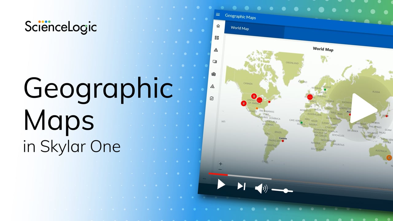
ScienceLogic Principal Product Manager Jonathan Chivers introduces the first release of Geographic Maps in Skylar One, a new capability that brings location intelligence to IT operations. Geographic Maps allows users to ingest and align location data with devices, then automatically place them on an interactive map based on known locations. This helps operations teams quickly understand the health and scope of their environments, whether local, regional, or global. Built for NOC teams, analysts, and technology owners, Geographic Maps improves situational awareness and supports faster issue resolution. Jonathan also highlights what’s next on the roadmap, including Business Services mapping, high-fidelity zoomable maps, and location management directly within the Skylar One interface.190Views6likes0CommentsHow to Pinpoint Root Cause in Real Time
In this video, we show how ScienceLogic Skylar AI automatically analyzes massive volumes of data, detects patterns, and delivers clear, human-readable insights so teams know exactly where to start, can act fast, and keep issues from escalating. 142Views0likes0Comments
- 251Views0likes1Comment